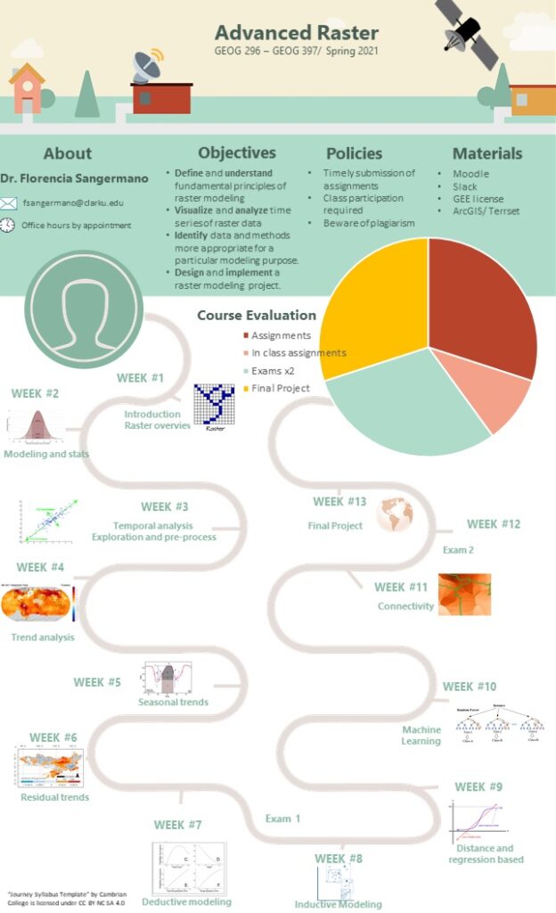
This course introduces students to modeling approaches using Raster data.The course starts with methods for multi-temporal raster analysis, including trend detection. The course then focuses on spatial deductive and inductive modeling. Students will learn theory and practical applications through labs, and scientific readings focused on applications to land change modeling, species distribution modeling, climate change and habitat degradation. Students will demonstrate proficiency through the development of a final project.
After the successful completion of the course, students should be able to:
- Define and understand fundamental principles of raster analysis
- Identify data and methods more appropriate for a particular modeling purpose.
- Design and implement a raster modeling projects from data download to delivered products.
Prerequisites: Intro GIS and Intro RS
Example of Final Project: