 Josué Gabriel Yarlequé Ipanaqué
GIS Analyst for TELEMATICA S.A, Esri’s International Distributor in Lima, Peru
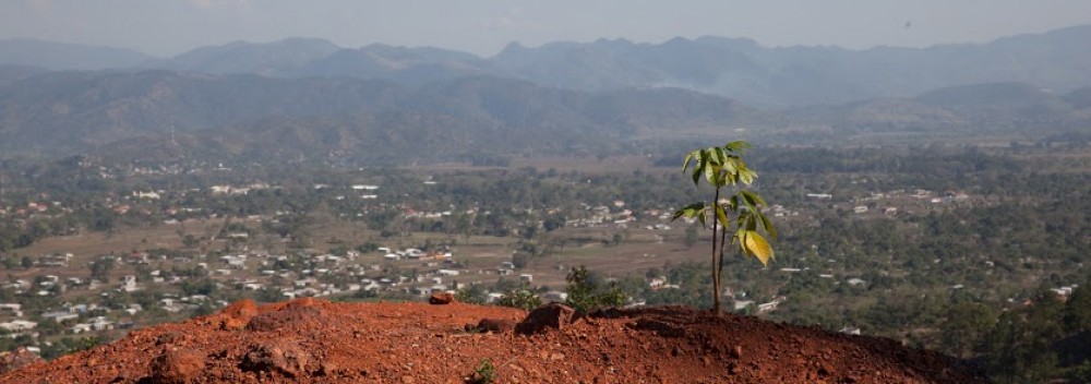
Gold Mining and Land Cover Change in Madre de Dios, Peru: A Remote Sensing Study Using Landsat-5 Thematic Mapper Data [PDF]
As a GIS Analyst I work with the Project Development and Support Team. I help public and private institutions maximize the use of the ArcGIS Platform (Desktop, Server, Online and Pro), as well as other ESRI products and services.I also provide smart solutions to optimize their projects and decision making processes in areas such as urban planning, conservation and resources management, social programs, transportation, emergency management, etc. As a certified ArcGIS for Desktop instructor I lead hands-on training sessions and technical workshops on the uses and applications of ArcGIS for different institutions in Peru.
M.S. GIS
Graduate School of Geography
 Saira Khan
B.A. Geography
B.A. International Development & Social Change (2017)
M.S. GIS (expected 2018)
Graduate School of Geography
 Maria Luisa Escobar Pardo
B.A. Geography
Graduate School of Geography
Clark University
Worcester, MA 01610
 Kayla Patel
 Zoe Ritter
GIS Analyst for the New York City Department of Environmental Protection