June 1st was a highly anticipated day among the group: Our last day in Spain as well as an ambitious trip to another country (Gibraltar) and another continent (Ceuta), before heading back to Malaga for the night. While the trip was being planned, Dario Haka and Dr. Pitamber asked us as a group if we felt up for the challenge– a travel day between travel days. Of course, we decided we were up to the task.
The night before, Wen Ting warned us that we would be meeting at 7am in the morning, earlier than any previous day. We had a bus to catch at 8, and since we would be leaving before complimentary breakfast began, we were sure to stop by supermarkets to select our on-the-go breakfasts. I picked up some ciabatta and peanut butter (which proved to be a very dry meal).
When I got downstairs a little after 7, I could tell we were running into a few roadblocks. Dr. Pitamber, Wen Ting, and Sarah Lopolito all had a look of stress and were talking on the phone, texting, or in Wen Ting’s case, running out the door. She was searching for the bus that had not arrived, and quickly learned that the street our hotel was on was closed to bus traffic. The second roadblock had to do with my classmates. Some were missing and others looked a bit worse for wear. I quickly learned that about half of the class had woken up with a terrible stomach bug. I heard many accounts that I will not share about the symptoms of the sickness, but suffice to say that the group was looking pretty defeated, with some unable to join us for the arduous journey ahead.
Around 7:30, Wen Ting returned with news that she found the bus at another hotel, and the journey began. Grace and I sat together on the bus and promptly fell asleep before we could watch people’s stomach bugs combine with motion sickness to create a dreary and anxious atmosphere. When we stopped at a gas station, everyone was ready to get off the bus. Whether for fresh air, the bathroom, snacks, or Sprite, we used that break to its full capacity. Personally, I stretched my legs and took in the unfolding scenery– a gorgeous mountain range. Then it was time to complete the bus ride to Gibraltar.
View from Bus stop En Route to Gibraltar
Image 1 of 4
Possibly Sierra de las Nieves. Photo by Gabby de Leon
At around 9:50, the bus came to a stop again. We had not arrived, but the bus driver gave us a chance to get fresh air once again. This time, it was on a sidewalk with a great view of the bay and rock of Gibraltar. After more troubled (but less so with the aid of snacks) time on the bus, the sea air and incredible sight refreshed the group and got us excited for the morning ahead. Sophie excitedly shared some of the geographic history of the strait with me, and the gravity of what it meant to be looking at this part of the Mediterranean Sea. They told me that ~5 million years ago, the strait of Gibraltar was closed and the Mediterranean was pretty much empty. When the strait opened, likely due to tectonic shifting, the Mediterranean Basin filled very quickly and formed the Mediterranean Sea. It took some amount of time between months and ~2 years and may have filled as fast as 33 ft per day. This event is known as the Zanclean flood. Looking out at the sea, it was hard to believe that it was once a massive land basin until it suddenly wasn’t, and that this change happened so close to where we were standing.
Looking out at the Strait of Gibraltar
Image 1 of 5
Wen Ting, Ana, Sophie, and Grace. Photo by Gabby de Leon
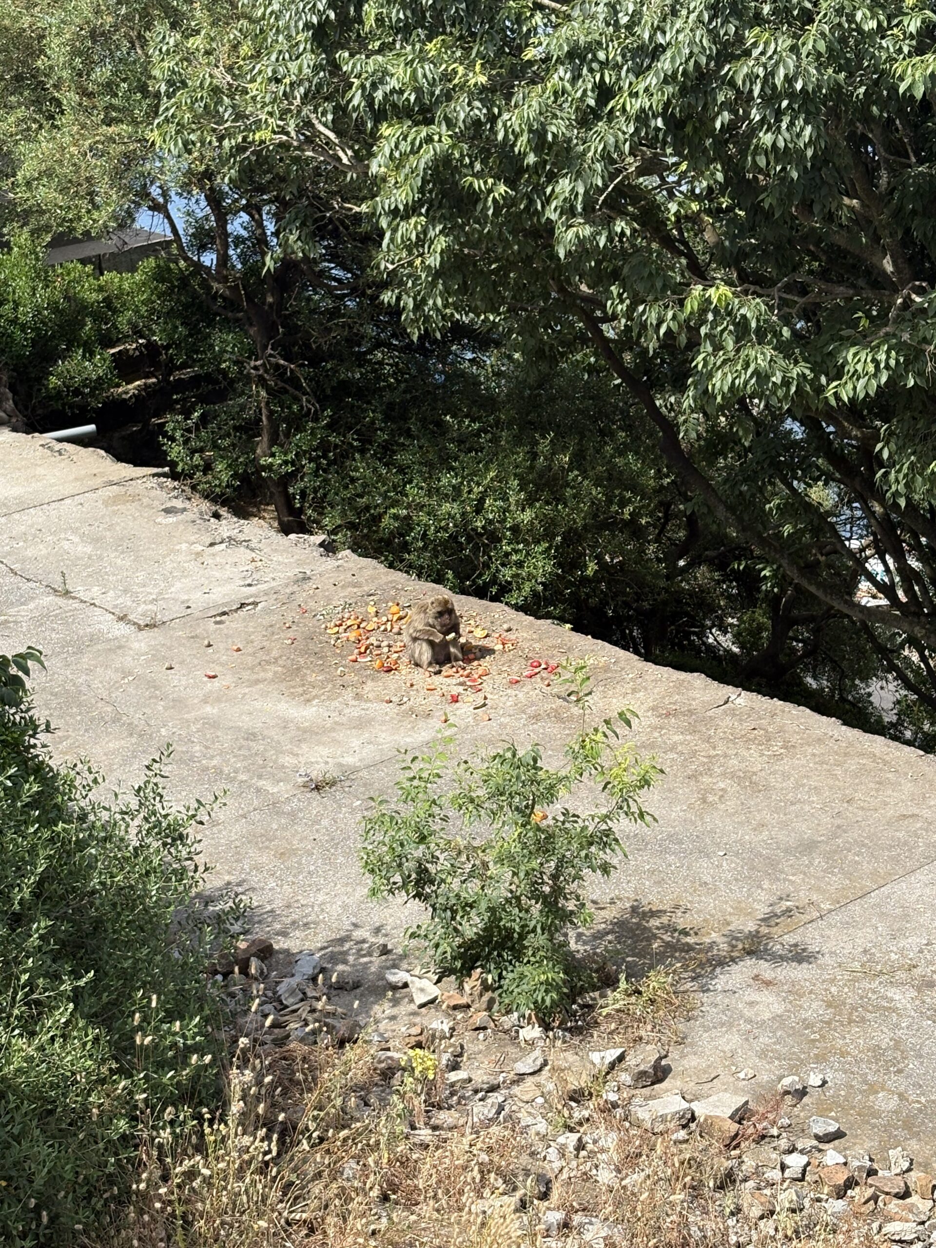
Once we were done marvelling at the Strait and Rock of Gibraltar, it was time to climb it! We got off the bus to cross the border into British territory– most of our first times walking to another country. After taking the bus further towards the rock of Gibraltar, we found ourselves in a quiet, suburban neighborhood. The city was not very crowded as we meandered towards the cable car that would take us up to the top of the Rock. The ride was surprisingly smooth and fast and we saw a monkey on the way!
Photo Credits: Ana Ruggieri
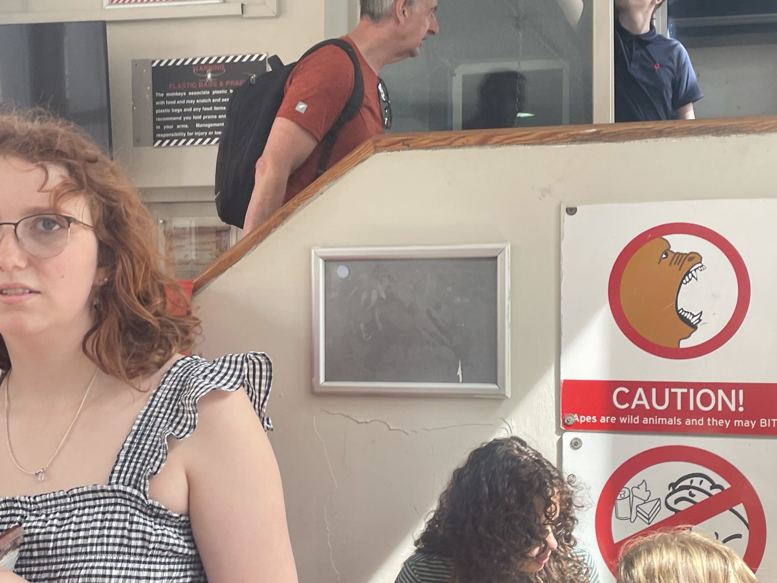
The rock of Gibraltar is very populated by Barbary Macaques, a monkey common in in the mountains of North Africa that was introduced to Gibraltar, likely by the moors, and increased during WWII to combat population loss. They are very used to people, but that mostly means that they know a plastic bag means food, so we had to be very careful about what was visible. There were signs all around the cable car station warning about monkey behaviors and not to feed them, which caused some conflicting feelings in the group. I personally was trying to understand as much about monkey behaviors as I could (to not get attacked) but Ana was super excited and was reminded many times not to touch the monkeys. I don’t quite remember how Sophie felt, but I think the picture I attached says a thousand words. In the end, there were not many monkeys on the mountain with us, because they were being fed in the nature reserve. We snapped pictures of the few we saw, and no one touched a monkey.
Sophie excited to meet monkeys! Photo by Gabby de Leon
After taking a look around the various platforms, the group (minus a few sick people that had to take breaks) circled up near some ruins at the top of the rock. Overlooking the strait, Dr. Pitamber and Wen Ting presented to the class. Dr. Pitamber delved into what the currents of the Gibraltar meant for trade routes, namely the fastest routes being around the mediterranean rather than across it. We have been observing how these trade routes influenced the cultures of the places we’ve been throughout our trip. However, seeing one of the fundamental causes of this culture mixing helped us to ‘shift our understanding of how people moved throughout the world’ before we had as much travel technology as we do today. Wen Ting elaborated on the Zanclean flood, explaining how the riverbeds of Zanclean era rivers like the Nile reach much further than their modern beginnings, indicating that these rivers had been present before the Mediterranean Sea formed. Wen Ting also explained how the tectonic plates of Europe and Asia created the rock of gibraltar and mountains in general in a process called Orogeny. She used her hands to demonstrate why the rock we were standing on was from the Jurassic period: because wind eroded the newer rock on the top of the peak.
Group on Rock of Gibraltar, overlooking Bay of Algerciras and Straits
Image 3 of 4
Photo by Wen Ting Ooi
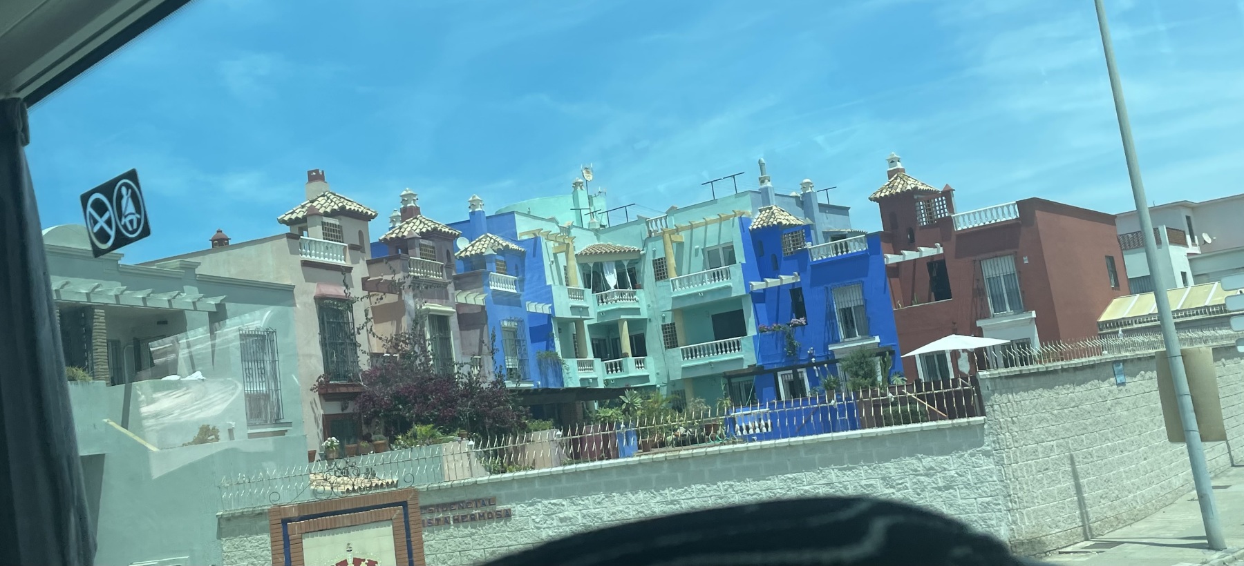
Afterwards, we took a quick stop at the gift shop/café for a quick bite to eat and to let everyone take a break. Everyone took their last looks at the view and then met to travel back down in the cable car. Satisfied, we walked down the hill and back out of British territory to begin our 45-minute bus ride to Algeciras. This bus ride was in higher spirits, even for those who decided to nap for those minutes. I could hear much more chatter about our day, and there seemed to be an excitement in the air for our afternoon plans on the African continent. Though we basically drove straight to the ferry station, Algeciras looked to be a noteworthy city to return to. I noticed something I have noticed throughout our trip in that many of the Spanish cities seemed to have particular architectural ‘looks’ that make them visually unique from one another. Algeciras sported the tall, close together shapes of Sevillan buildings, but with a some distinct roofing and a wider range of color than Cádiz, with whom Algeciras shares a province.
Glimpse of Algeciras. Photo by Gabby de Leon
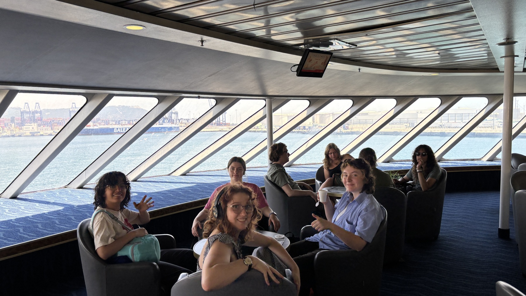
As we boarded the ferry, I reflected on our morning in Gibraltar and the strait with the same name that we were about to cross. I thought about what it may have meant to cross this strait for people long ago, and what the formation of this strait meant for the shape of the world as we know and knew it. Thinking of how the natural movement and shape of the world informed all of the history we’ve been studying up to this point was a great way to avoid worrying about seasickness!
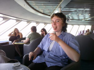
To begin my section, I should start with an initial explanation of my health at this point in the trip. I happened to be one of the poor and unfortunate souls who contracted the stomach bug that slowly made its way through the group. Therefore, when this trip began, up until the very end, I was not in my best of mind. I hope that does not reflect all too much in this blog post. Nonetheless, I had only one goal for that day in the back of my mind, and it was to make it to Africa! After an eventful trip to Gibraltar and a nice calm bus trip to Algeciras (in which I took a nap across five bus seats in the back and talked with the bus driver), I was feeling revitalized and ready to go. Going to the African continent had the group a buzz, even those who could hardly articulate themselves. This was a journey that almost all of us had never had the opportunity to do. We excitedly, if not a little sluggishly, made our way through security and filed onto the boat to leave.
Heading the ferry to take us across the Strait of Gibraltar by Naomi Pitamber
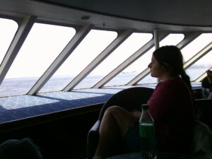
Ana Watching the Sea By Sophie Mowbray
The ferry was stocked up with almost everything our dilapidated and desperate group of students could ask for. However, despite our conditions of illness, due to the spreading stomach bug, we pushed forward and took advantage of what we could. Grace took advantage of this, making sure to grab herself both water and a coffee for the journey. Before the ferry even moved, I could hardly sit still. I grew up loving maps, and I would find myself reading atlases at night for fun on occasion, even over real books. I remembered seeing maps of the area and reflecting on them in my mind. It had never seemed to me that Africa and Europe were as close as they were. As the ferry began to make progress towards the shores of the continent, I realised that we were only about fifteen miles, as the crow flies, away from Africa. Coming to realise that it was less than the distance between Boston and Worcester, was an insane comparison in my mind. How could two worlds that were so different be so close?
Grace’s Coffee By Sophie Mowbray
While the boat was moving, Doctor Pitamber suggested that we watch out for dolphins that inhabited the Mediterranean Sea along the way. Ana, Doctor Pitamber, and I sat in the very front of the boat on this little platform so we could see marine life up close! According to Ana, we saw a lot of dolphins and Orcas! I thought the Orcas were particularly cool. However, the short journey we made was one that would not have been possible without modern technology. The currents in the Mediterranean Sea allow for easy travel around the coast, but traveling across the Strait of Gibraltar would not have been feasibly this simple nor direct. This consideration, along with understanding how we were heading to Ceuta, a Spanish piece of land in North Africa, allowed us to understand what the significance of this land belonging to and continuously identifying with Spain meant.
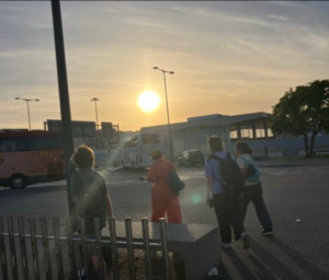
On the way to Ceuta! by Wen Ting Ooi
When we arrived in Ceuta, we were met by the humid heat we had taken a momentary break from in Spain. It was unlike anything we had ever seen before. Sure, it was technically Spain, but the stores looked different, the streets looked different, and it felt like a new world. It also seemed like Hijabs were more common in the area. Seeing as though Spain is a primarily Catholic country, this was a stark difference from anything we had seen before in the country which was quite cool. Our first stop was a grocery store to catch some water for everyone who was ill. But we were not there for long, and soon we began our trek for presentation spots.
Ceuta Streets by Sophie Mowbray
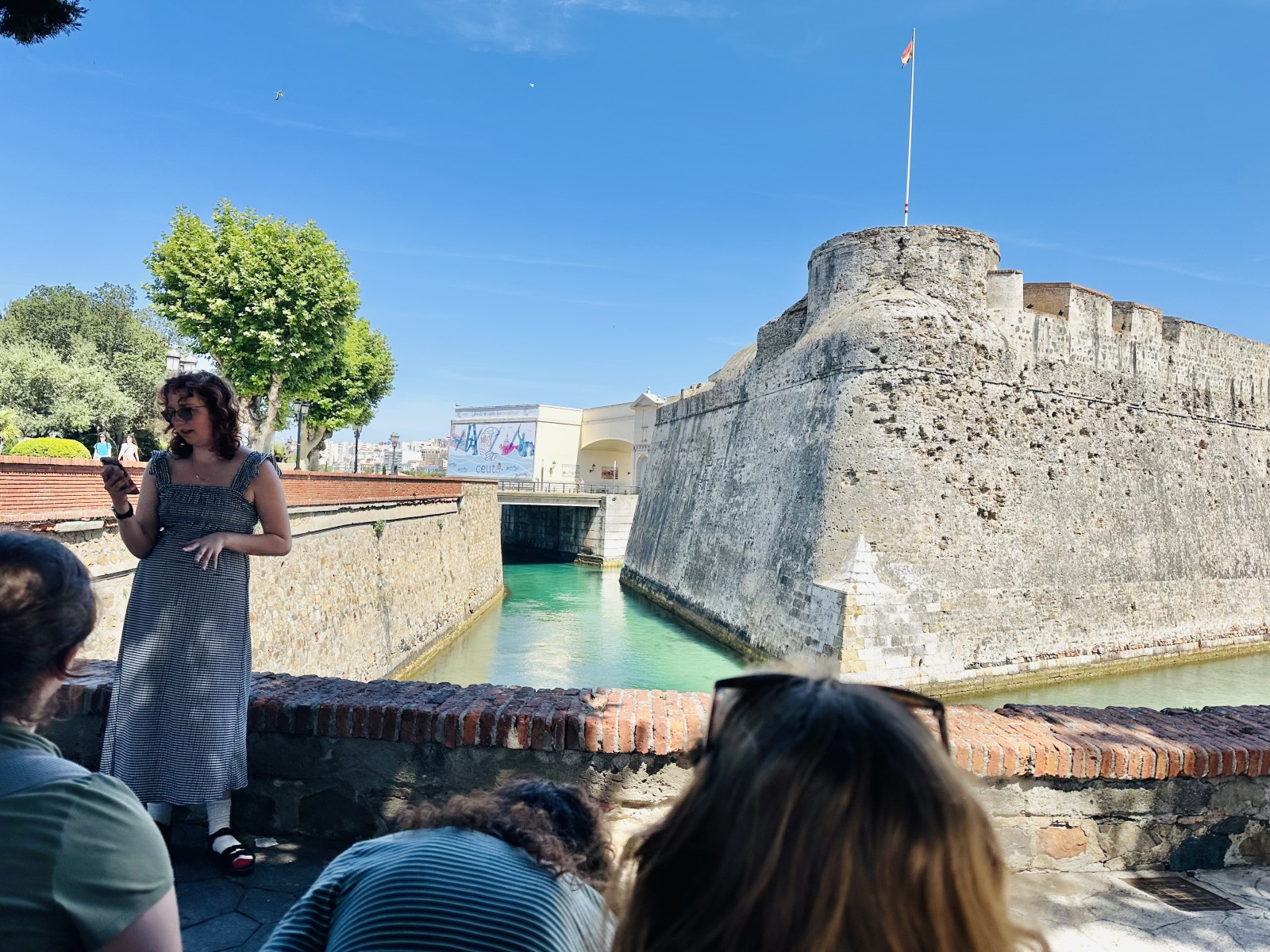
Sophia presenting the history of Ceuta in front of the Muralles Reales, Ceuta by Naomi Pitamber
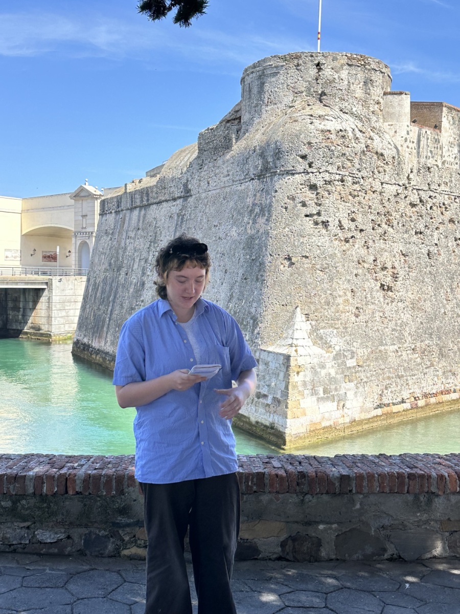
We soon found the site of Grace’s presentation, Muralles Reales, a large set of navel walls just within the shore of the city. We staked out a shady spot for us both to present. I was the first to present, and I had another presentation on the history of the city! Like Cádiz, the city was traded between different groups of people over time, from the Romans to the Moors and even to the Portuguese. The area has had to build up naval defense and became a vital military center as a result. Though it has been identified as many different things, the city of Ceuta has continuously aligned itself alongside Spain in conflicts. Despite being on the African continent, it is a proud and self-proclaimed part of Spain. This history and context served as the grounds for aspects of Grace’s later presentation.
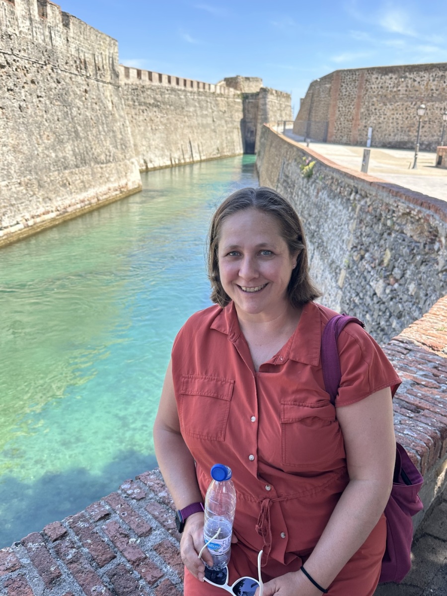
Sarah smiling at the Muralles Reales by Naomi Pitamber
Grace presenting on the Muralles Realies, Ceuta by Naomi Pitamber
Grace presented on the Muralles Reales. They were walls built by Romans, added onto by the Portuguese, and again built up by the Spanish. They are an impressively imposing military fortification with a system of many publicly inaccessible tunnels underneath it. It also had one of the oldest traversable moats in the world! We saw this in action as Grace was presenting. She even stopped her presentation to point out a kayaker who kept being swept into the wall, making a witty remark that her discussion question was, “How many times do you think you could ram your kayak into that wall?” which got a couple of laughs.
It was eye-opening to hear about the naval history behind the Muralles Reales because, unlike Cádiz, it seemed like Ceuta did not seem as much of a shipping city and far more of a naval one. We reflected as a group as to why this may be. Some of our reasoning came from ideas of location and others regarding the severity of the attacks the city faced. One of the lasting marks on the Muralles Reales is cannon damage left over from the 33-year war in Ceuta, which ran from 1694–1727. However, despite the visible damage, the walls are thick and tall and seem to still be capable of withholding a lot of firing damage. This illuminated the idea that the fortresses in this city are bent on keeping people safe from damage and enemies.
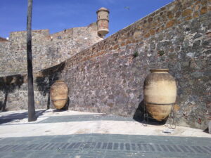
Isn’t that sweet? by Gabby de Leon
After the presentations, those of us who were not violently ill had a serious hankering for something to eat. We walked into the fortress, looking for a cafe to buy snacks and drinks from. Unfortunately, the cafe was empty and closed. All that remained was the party directions for someone’s Dragon Ball Z party. It was a good learning experience to get a view of some of the layers inside the fortress. It allowed us to think about how the city was affected by the consistent violence and how the architecture reflects the people’s needs. The thick walls with different rooms inside made it look less like the wall it first appeared to be, but rather a complex with a clear goal. We then headed to a restaurant in town, which also rejected our group. Our final shot was a little restaurant on the beach that was only ever selling drinks. However, despite our failed attempts to find restaurants, we were able to find cannons, mosaics, and other military statures that alluded to the history the city has. We made do with some new grocery store snacks and moved forward to the ferry back to Europe :(.
Fortress by Sophie Mowbray
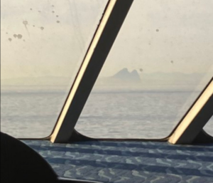
Rock of Gibraltar Ferry View By Sophie Mowbray
On the way back to the ferry, we each took our chance to nap as it was quiet, and after a long day of traveling ill, many of us needed to rest up. I was absolutely exhausted, so I slept through the whole thing. When we got to the bus, I said goodbye to my lovely friend Juan, the bus driver, and slept in the back seat once more all the way to Malaga. That night was an immediate bedtime. What you should learn from my trip back is that when you are ill, you should prioritise rest! After a full night of sleep, I went into the next day, ready as I would ever be to fly to Turkey.