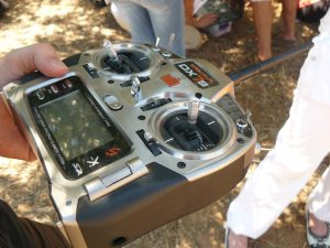
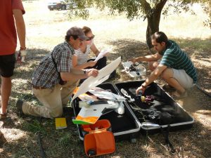
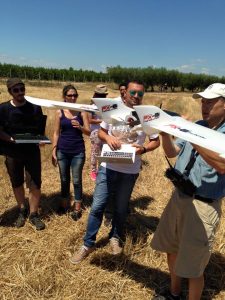
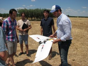
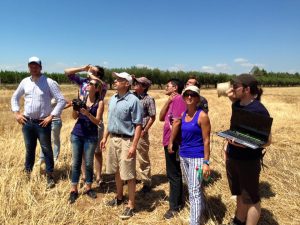
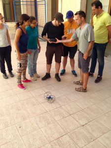
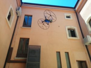
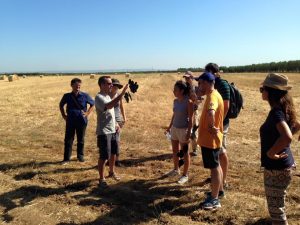
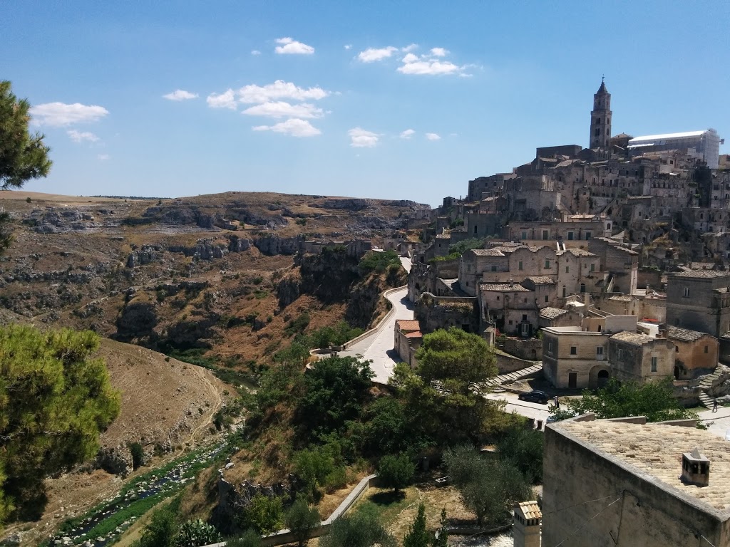
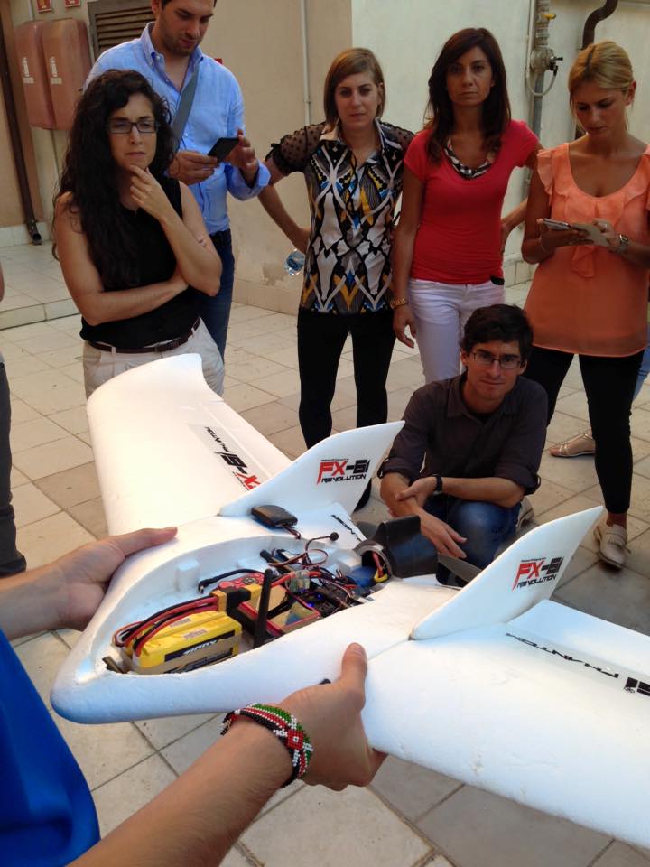
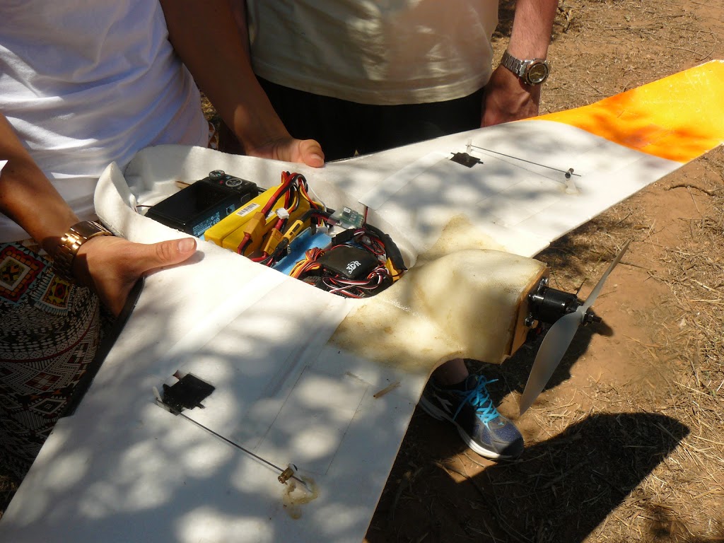
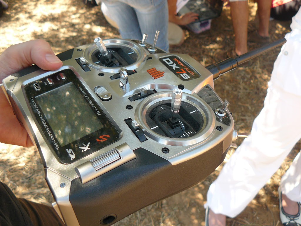
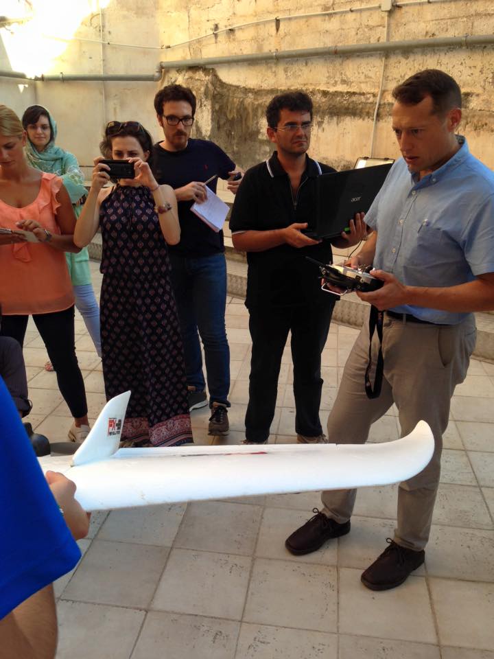
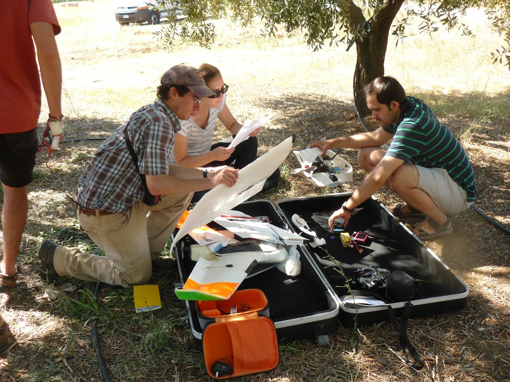
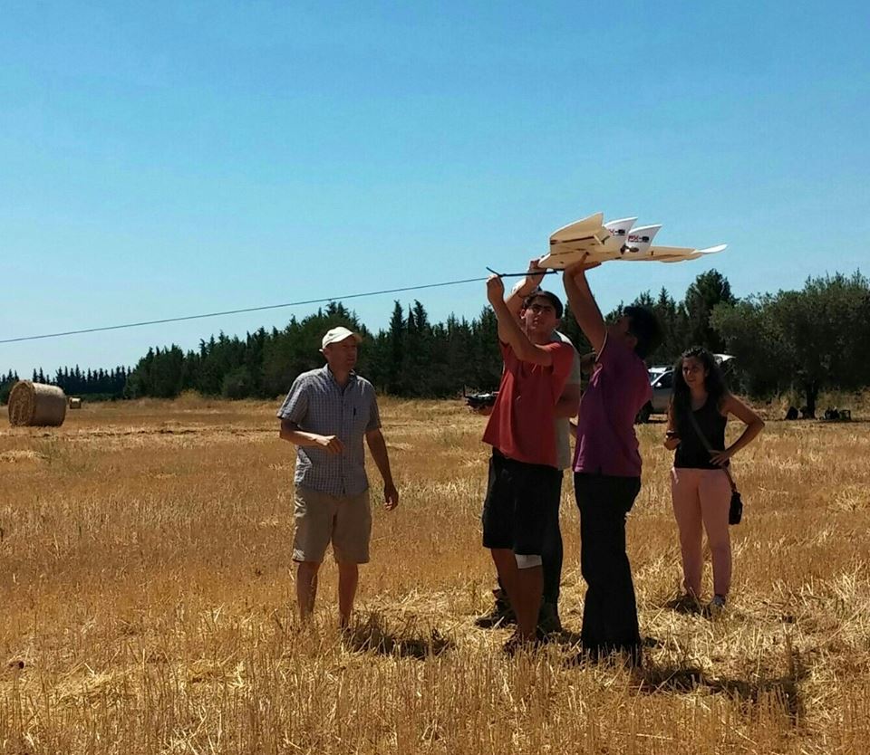
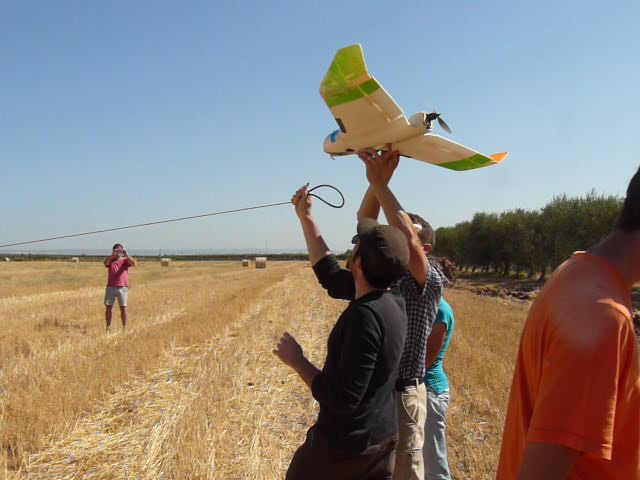
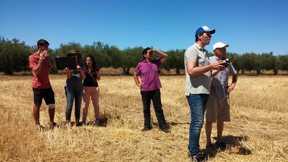
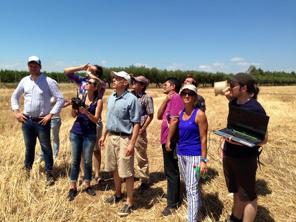
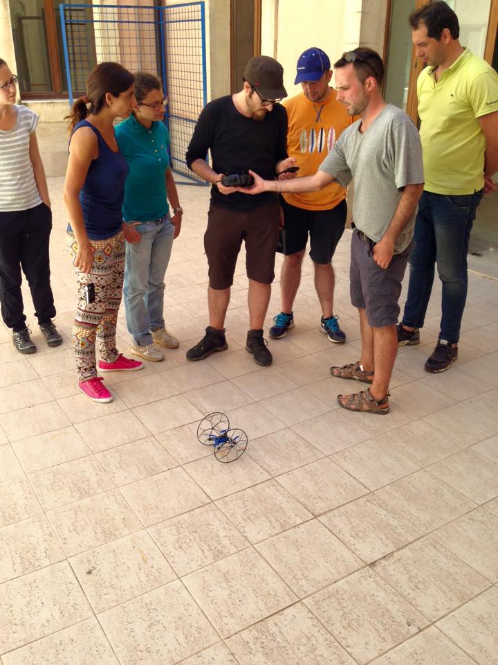
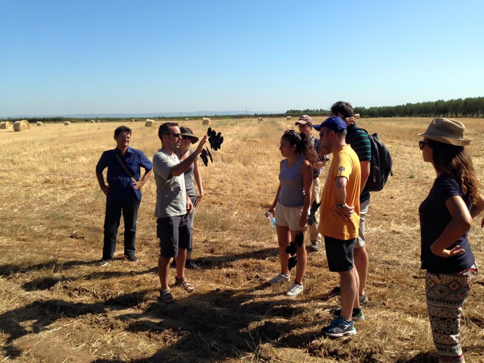
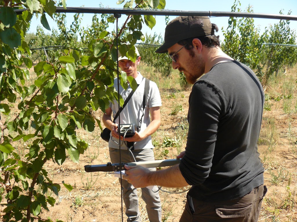
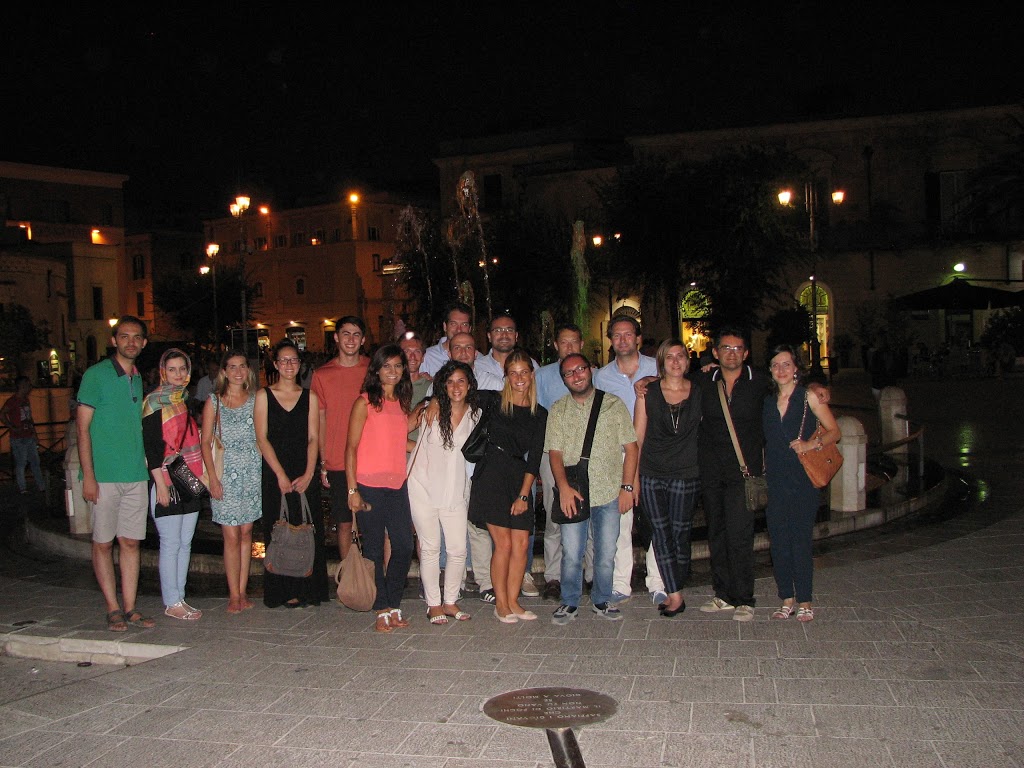
 Last week I was in Italy to help teach a new course on UAS for Environmental Monitoring, which was organized by Salvatore Manfreda and Kelly Caylor, and run under the aegis of the University of Basilicata. Xurxo Gago from the Universitat de les Illes Balears provided instruction on multicopters and estimating crop water use from thermal imagery. We held classes in the ancient city of Matera (a remarkable place), while flight training and data collection practicals took place in farmland to the south near Metaponto. By the end of the week, 17 students successfully ran a data collection mission (using fixed-wing UAS from readytodrone.com), processed the resulting imagery into orthomosaics and DEMs, and did some initial data analysis, including a comparison of leaf area index measurements made in the field, UAS-derived BNDVI, and Landsat-derived NDVI (Marc Mayes from Brown University found that Landsat 8 had imaged the area during that week, making a very nice comparison). The student presentations and lectures are available here. We hope to run this course again next summer, so please watch this space if you are interested in learning how to use UAS to close the gap between field and spaceborne observations. Click here for some photos or video.


